

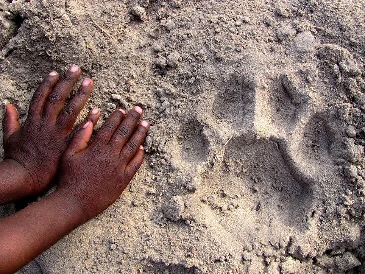
The free WildTrackAI app empowers you to capture and manage wildlife tracks with ease, anywhere in the world. Join our global movement to protect biodiversity and become part of the solution.


Use the free WildTrackAI mobile app to capture footprints in the field and upload them instantly to a secure cloud for analysis. Your observations are helping us identify species and individuals, their age and sex, reveal group dynamics, and spot threats like poaching or human–wildlife conflict. Log in to the platform to view your observations on dashboards and maps. Every footprint you record strengthens wildlife protection around the world.
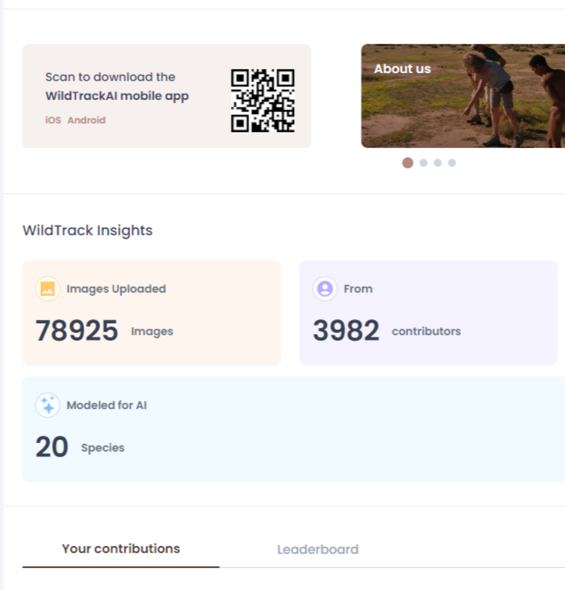
You've got the app, now log in to our data platform to track your observations and view your dashboard. Join our community, learn about tracks, and follow the path of your data, one step at a time.
Every photo you take passes through the same five steps, ensuring accurate results to support wildlife conservation.
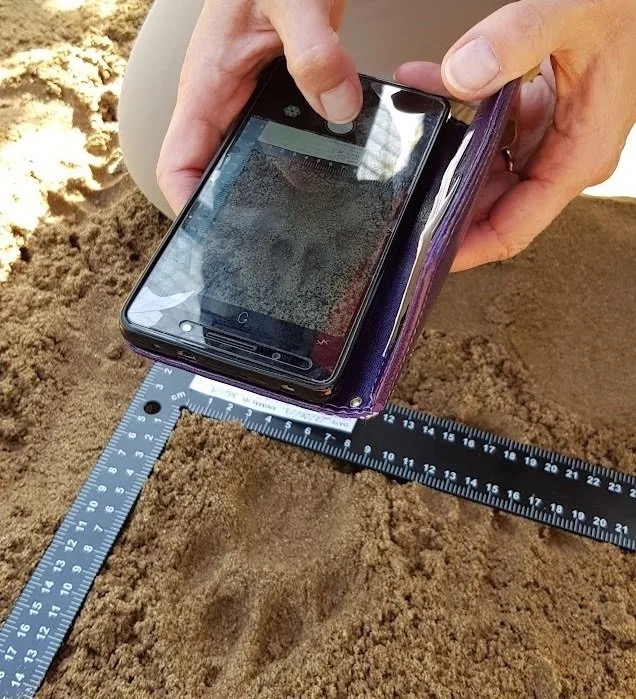
Photograph a footprint in the field. The WildTrackAI app guides you through the process and works fully offline; no WIFI needed. Always include a scale ruler in your photo!
Upload your photo either from your camera or directly in the app. Record observation details prompted by the app. Remember to turn on your location while using the app to ensure accurate mapping!
Get the app →Our expert reviewers are trained trackers who check each uploaded image, rate it, and add notes. You will be notified when the review process has started and when it is complete. Each observation contributes to our database and can help mitigate human-wildlife conflict situations and protect endangered species against poachers.
Your observation is then modelled with the help of AI to confirm and identify species, individuals, and often sex and age class. You can view our collective database on cutting-edge maps and graphs to illustrate numbers and distribution, which is used to support wildlife conservation.
Log in to our Analytics Platform to view interactive maps and tracker leaderboards. Each observation contributes to your combined data record, where you can track statuses, earn badges, chat with other contributors on our Discourse Forum, and learn more about tracking.
AI.WildTrack.org →